Turn Every Mile Into a Local Market Advantage
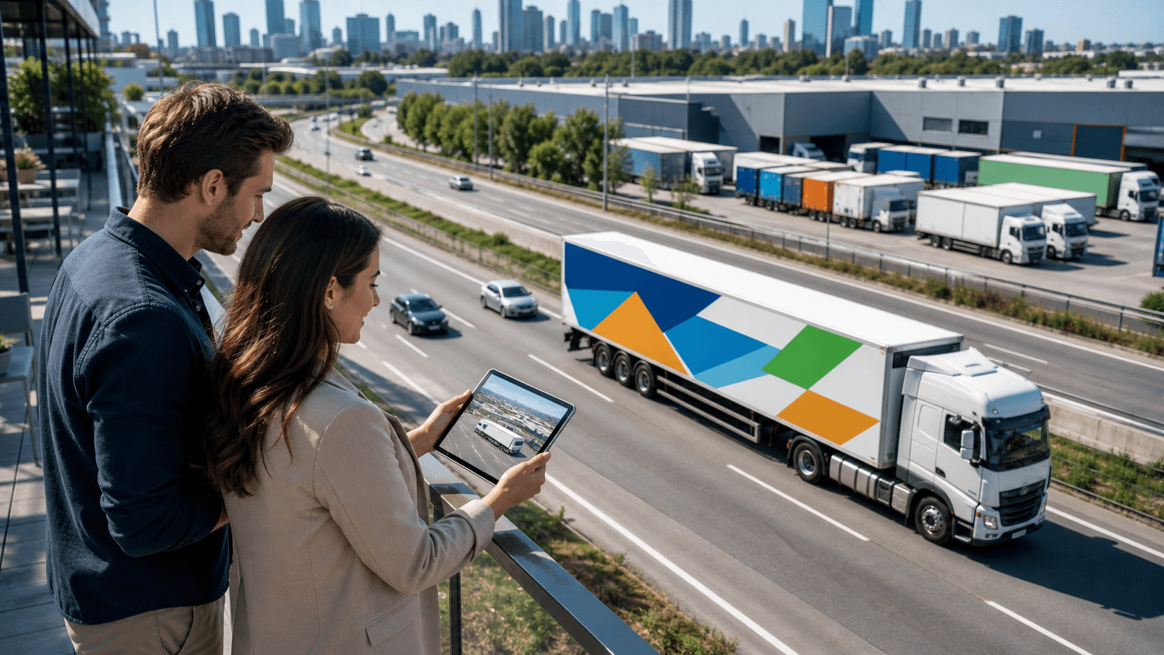
Fleet vehicles do more than move products and people. They move your brand through real neighborhoods, past real homes, stores, schools, and job sites. When Q4 hits and holiday rush kicks in, those same routes get even busier with deliveries, retail runs, and service calls.
That seasonal surge exposes something many brands miss: hidden value in the routes you already drive. With smart planning, every mile can act like a local media buy, not just a line on a logistics sheet. Together, we can use geo-targeted fleet graphics and precise fleet graphics management to turn those everyday routes into high-impact brand touchpoints that deepen local resonance and visibility.
In this article, we'll walk through how territory mapping works, how to build local creative variants, how to test offers by route, and how to pull it all together with logistics that perform reliably, even when winter weather hits. Our goal is to give you a practical, progress-focused framework we can build on together.
See Your Routes Like a Media Planner, Not a Dispatcher
Most teams look at a route and ask, "Can we deliver on time?" A media planner looks at that same route and asks, "Who sees this vehicle, when, and how often?" That second question is where real brand value, and sharper, more intentional visibility, starts to appear.
Think about common high-visibility spots your fleet passes through again and again:
- School zones and after-school corridors
- Morning and evening commuter routes
- Industrial parks, warehouse clusters, and office districts
- Retail strips, malls, and grocery hubs
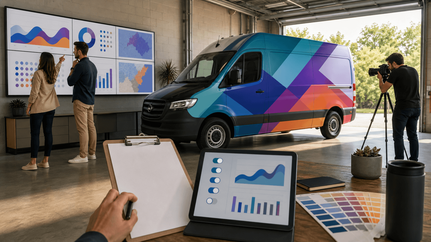
When you pull GPS or telematics data from your vehicles, patterns appear. You can see which corridors your trucks hit daily, which neighborhoods they spend the most time in, and how often they show up in the same locations. That is media inventory, sitting right inside your logistics data, ready for us to shape into precise, route-based brand impressions.
A simple route mapping process might look like this:
- Pull recent GPS or telematics history for your fleet
- Identify high-frequency corridors and stops
- Overlay those routes against your target customer areas
- Flag "high-impression" segments where vehicles slow down, stop, or repeat often
Once you see your routes this way, fleet graphics management becomes strategic and disciplined. Instead of treating every vehicle the same, together we can:
- Group vehicles by territory or typical service area
- Separate daytime commuter routes from late-night or early-morning runs
- Match each group with graphics and messages that fit who they consistently drive past
Now your vehicles are not just moving ads; they are carefully planned media placements that align with real-world behavior, elevating brand resonance mile by mile.
Territory-Based Creative That Speaks the Local Language
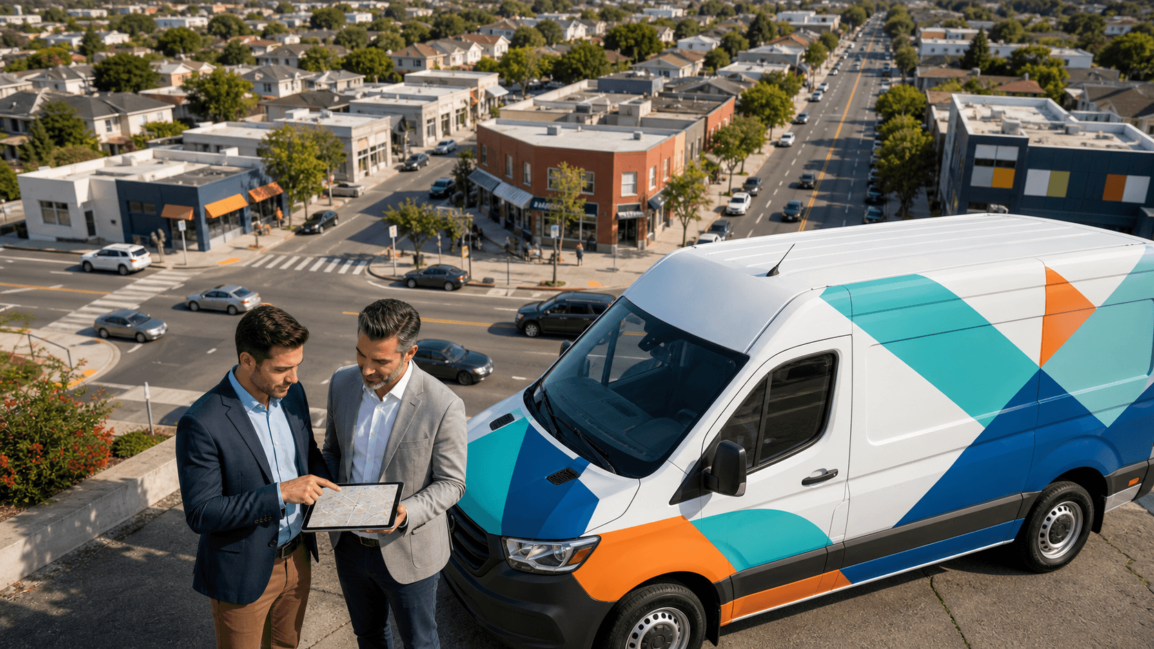
When you know where vehicles actually spend their time, you can speak to those communities in a way that feels familiar and grounded. Territory mapping lets us plan creative that feels local and authentic, even for a national brand, and that's where signage and graphics start to reshape how people experience your brand in their own neighborhood.
Local variants might include:
- City-specific or region-specific headlines
- Imagery that reflects local weather, streets, or culture
- References to nearby stores, service zones, or support areas
- Local callouts like "Serving the east side daily" or "On the road across the valley"
The key is staying flexible without losing your core identity. That means building creative from a shared design system:
- One clear logo standard
- Consistent brand colors and typefaces across all regions
- Modular layouts where certain panels or sections are "local zones"
With this approach, 80 percent of your design can stay the same from coast to coast, while 20 percent changes so each vehicle feels like it truly belongs in its territory. From our work as a nationwide fleet graphics and commercial signage partner, we know that details matter here. Color needs to hold over time, finishes need to match from market to market, and substrates need to behave consistently in different climates, from cold northern winters to sun-heavy southern routes.
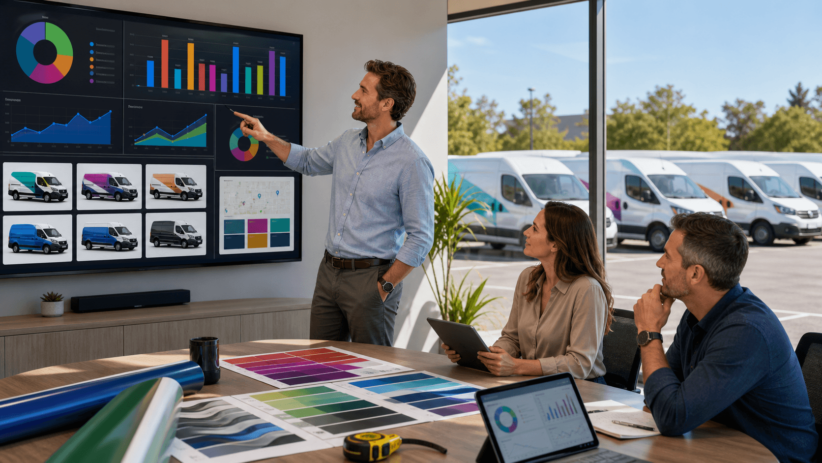
This quality focus is what turns a good idea into a dependable system. Strong fleet graphics management ties it all together. You know exactly which creative variant belongs on which vehicle, in which territory, and for how long, so your brand stays unified even as the message flexes city by city. Together, we can build a precise, repeatable process that keeps your graphics looking sharp and performing reliably.
Route-Based Offers and Real-Time Local Testing
Once your fleet is mapped and your creative is modular, you can treat routes like live testing zones. Different corridors see different people at different times, so we can put that variation to work and keep improving with each season.
For example, you might:
- Run family-focused offers on routes that pass schools and parks
- Feature B2B service messages on trucks that stay in industrial areas
- Push seasonal retail offers on vehicles that hit mall and grocery corridors in Q4
To track what works, we can set up simple, route-level testing:
- Unique URLs or QR codes tied to specific route clusters
- Promo codes that include a route or region reference
- Time-bound holiday offers that only run on certain vehicles
The value isn't just in the idea, it's in the structure. With thoughtful fleet graphics management, we can:
- Pre-plan swap windows for offers before busy seasons hit
- Use modular panels or sections on the vehicle that are designed to change fast
- Coordinate installation so vehicles stay on the road while tests rotate in and out
Over time, your fleet becomes a learning engine. Each test adds to a growing knowledge base. Together, we can see which offers perform best in which types of areas and feed that insight back into both marketing and logistics planning. That ongoing progress helps your fleet graphics continually sharpen brand resonance and ROI instead of standing still.
Logistics, Seasonality, and Scaling Geo-Targeted Success
All of this is exciting, but it has to work in the real world, with real deadlines, winter storms, and the rush of Q4 demand. This is where logistics, quality control, and process discipline make or break your plan.
To scale geo-targeted graphics across a national footprint, you need:
- Centralized graphic specs and brand standards
- Production that can handle multiple creative variants at once without sacrificing quality
- Reliable regional installation partners who know local conditions
- Standardized hardware and application methods so installs stay consistent
Cold weather, holiday traffic, and tight delivery windows leave very little slack. Install timing needs to match route schedules. Graphics have to be produced and shipped to the right market at the right time and in the right condition. Every vehicle, location, and creative variant should live in an active inventory system, so you know what is installed where and when it is due for a refresh.
This is why fleet graphics management is not a one-off project; it is an ongoing discipline and partnership. Together, over time, we can:
- Track which creative runs in which territory and for how long
- Plan refresh cycles based on season, offer, or wear and tear
- Tie performance data back to specific routes, territories, and designs
When logistics, creative, data, and quality standards sit together, geo-targeted fleet graphics stop being an experiment and start becoming a precise, repeatable growth tool that steadily elevates local brand visibility.
Build a High-Impact Geo-Targeted Fleet Together
A fleet full of vehicles already on the road is not just a cost of doing business. It is a living, moving media channel that can shift with your routes, your seasons, and your local goals, and a powerful way to redefine how customers see and remember your brand where they live and work.
At AGS SEO, part of American Graphics & Signs, we're grateful for the opportunity to partner with multi-site and multi-vehicle brands that want to move forward with precision. We focus on the connection between logistics and creative so your graphics and signs do more than decorate; they drive visibility, clarity, and progress.
Together, we can help you see your routes clearly, map territory opportunities, design smart local variants, and coordinate production and installs across the country so the whole system works as one, high-performing network.
When you rethink your fleet this way, Q4 surges, holiday travels, and everyday runs all start to feel different. Every route carries a message tuned to its territory. Every local test teaches you something you can use in the next rollout. With the right planning and a focus on quality and logistics, those "same old" drives are no longer routine; they become steady, trackable chances to unlock hidden route value and build stronger, more visible local connections, together.
Get Started With Your Project Today
If you are ready to bring consistency, visibility, and control to your fleet, our team is here to help you streamline fleet graphics management from design through installation. At AGS SEO, we collaborate with you to create a clear plan that supports your branding and operational goals across every vehicle. Tell us about your fleet goals and timeline, and we will outline practical next steps to move your project forward. If you have specific questions or need a custom proposal, simply contact us to get started.